Sell the yard ten years from now.
Sample lot. Sizes at planting; spacing on center.
Why trees are hard to sell online
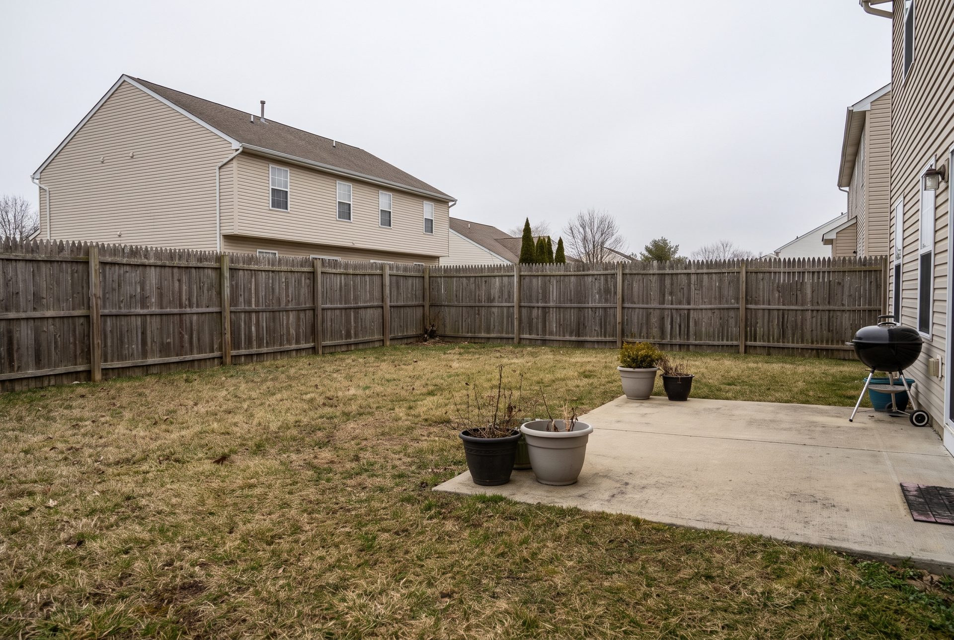
Buyers can't picture it
A catalog photo of a 6-ft arborvitae doesn't say whether it will hide the neighbor's second floor, or when.
A quote needs a site visit
Measuring, phone calls and a hand-built estimate take days. Most leads go cold before the number arrives.
Mistakes show up in year five
Trees go in too close to the house, in deep shade, or spaced for today's size. The fix is digging them out.
Address to invoice, no site visit
The customer does in ten minutes what used to take a site visit, a phone call and a week of waiting.
One click finds the lot lines
The customer types an address and clicks their house. The parcel boundary comes from county GIS records or Regrid, with bearings and areas already attached.
Corners can be dragged when the record is off. Fences and hedges are often a few feet inside the true line.
The 3D model is built only after the lot is confirmed, so processing goes to one yard, not the block.
A scheme the customer can trust
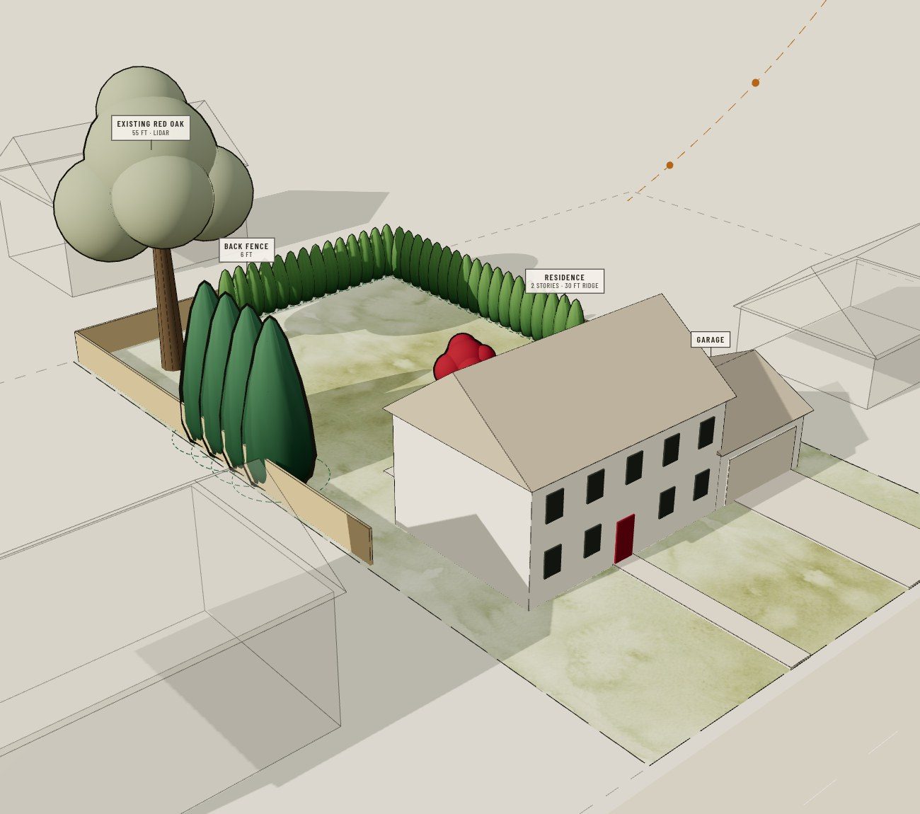
Drawn in the same language as this sheet: lot lines, footprints from Overture, heights and existing trees from USGS lidar. Plant, drag the years, move the sun.
Click to plant; draw a line to set a hedge at the right spacing.
Year slider from 0 to 10, sizes from nursery growth rates.
Sun by date and hour, with a sun-hours map of the lot.
Where each tree goes, and why
Climate picks the species
The address resolves to a USDA hardiness zone (2023 PRISM map). Only species rated for that zone are offered. Montclair, NJ is zone 7a, lowest winter average 0 to 5 °F.
Nursery reference values. Growth is fastest in the first years and slows as a plant nears mature size, so year 10 is below a straight-line projection.
Sun hours, measured on this lot
Each 2.5-ft cell is tested every 15 minutes from sunrise to sunset against the house, garage, fences, neighbors and the existing oak, using lidar heights.
Arborvitae thin out on the side that gets less than 6 hours. Hatched cells are where the model won't place them.
Growth, shown on their own yard
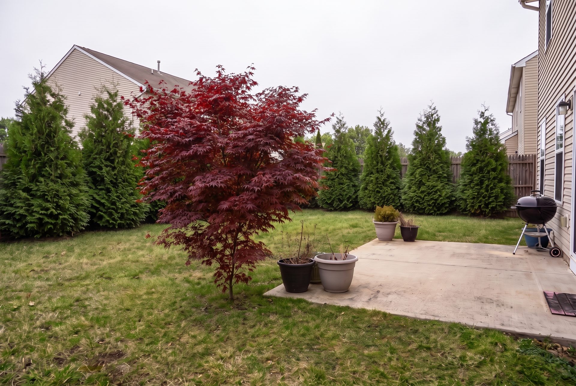 BeforeYear 10
Their yard, their angle
The customer uploads one or two photos of the yard. Optional.
They mark on the plan where they stood and which way they faced. Phone GPS and compass give the first guess.
We render the model from that spot as a mask of where each tree stands at year 0, 5 and 10.
The image model paints the trees into their photo. Presented as a visualization, not a construction document.
The price arrives with the plan
Plant count, delivery distance and equipment come straight from the model. The one question we ask is how wide the gate is.
With less than 4 ft of access, trees over 6 ft are carried in by hand and the estimate adds that labor. With 4 ft or more, a mini skid steer takes them to the hole.
Three kinds of customer, one model
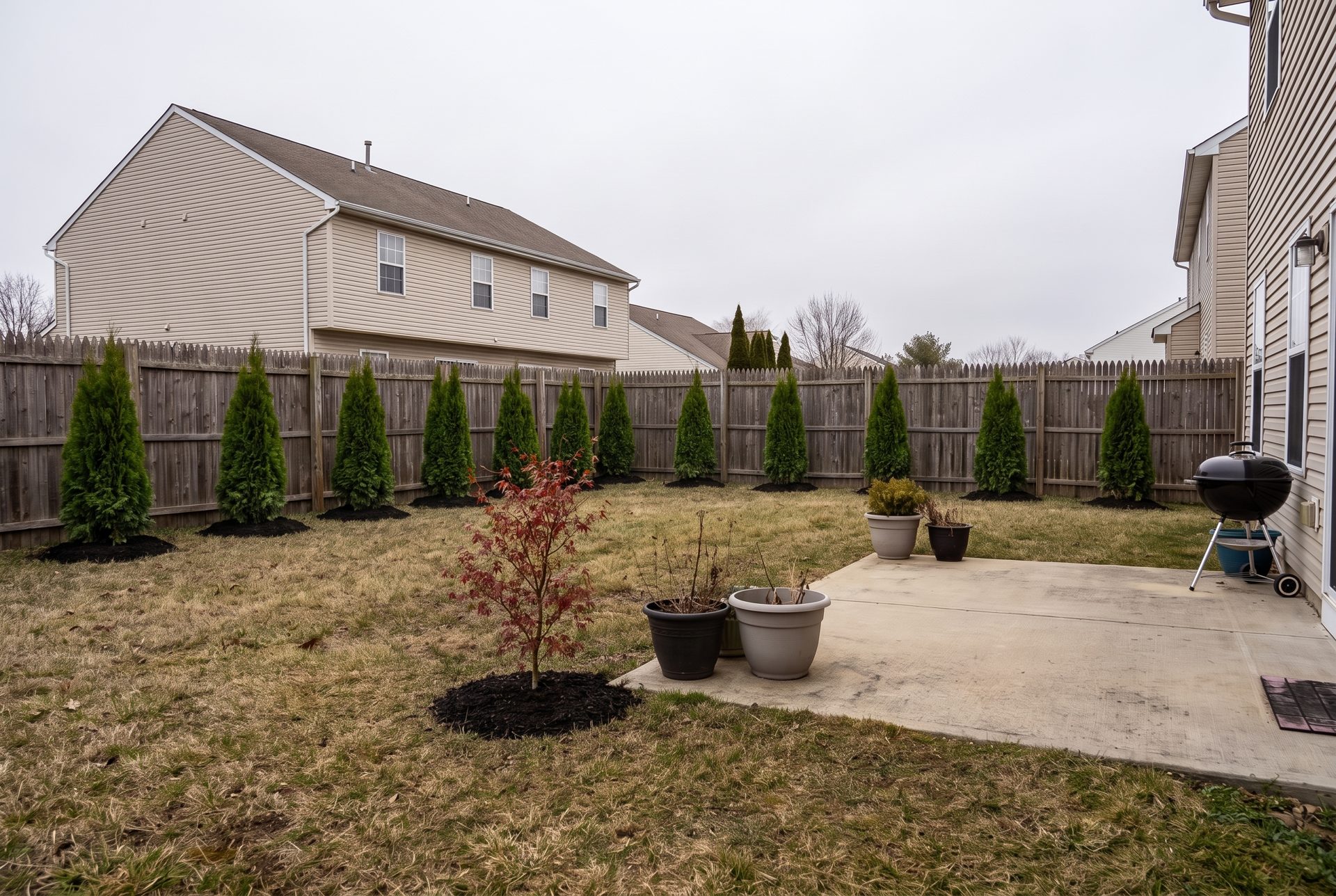
Homeowners want privacy from the neighbors and a finished yard. They get the shortest path: address, trees, price.
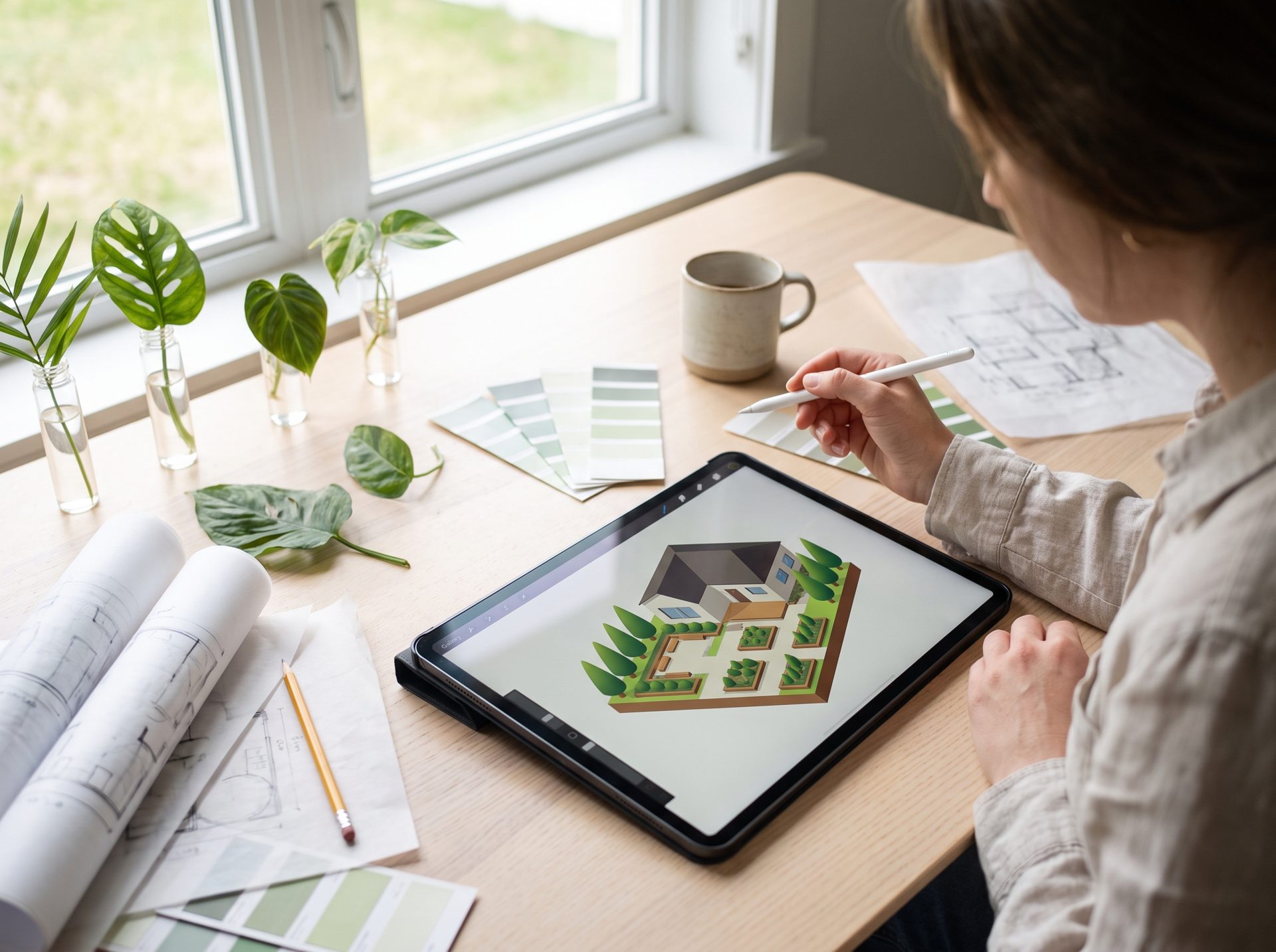
Landscape designers export the plan to PDF and DXF under their own logo and earn a commission on the installation.
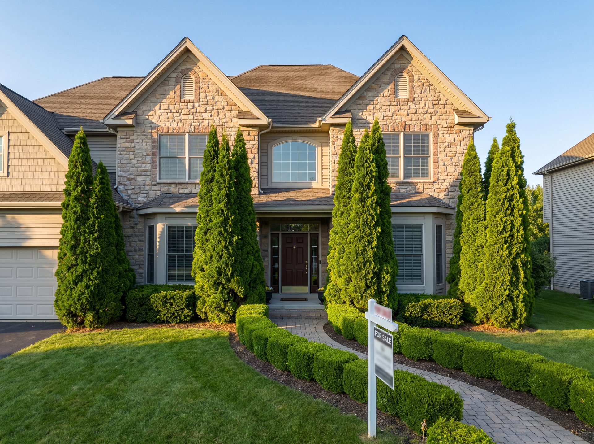
Realtors get a before and after for the listing within a day, and a curb-appeal package installed before the open house.
Built on open US data
Why not Google Maps
Google's terms allow showing their maps and imagery. They prohibit building terrain or 3D models from that content, analyzing the imagery, feeding it to AI, and caching it in documents like our estimate. The product needs all four.
Phasing plan
Known risks
Lidar in some counties is 5 to 10 years old, so existing trees may have grown or gone. The image model can alter the house in photos, so it stays labeled as a visualization. Prices and stock of large trees change weekly and must sync with the nursery.
Plant it today. Show them year ten.
makemeayard.com turns a tree order into a plan the customer can see, trust and pay for in one sitting.
Open the live model